

")

5 Lens Oblique Camera
![]()
Multifunctional and cost-saving
Integrated oblique photography, orthophoto in one. Nadir-view lens can work separately for 2D mapping.
Save shutters and extend camera life.

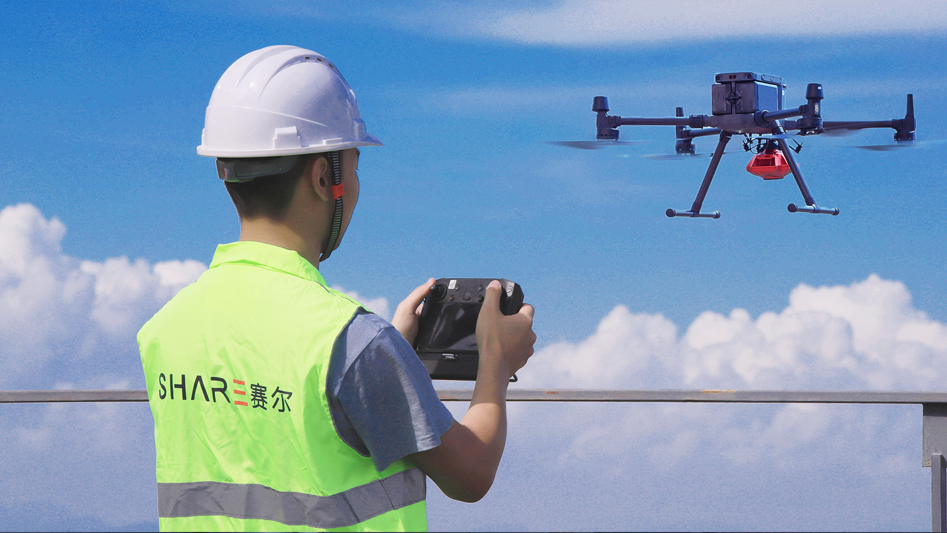
Manpower-Saving With GCP Free
■ Indepent POS.
■ One operator could complete the whole process of field data acquisition and processing

Time-Saving With Simple Operation
Easy to install, Efficient operation. Deeply integrated with DJI industry applications.

Master of Mapping Lens
Mapping special lens, transparent imaging clear reduction, wide Angle view full coverage; High overlap rate, full coverage.
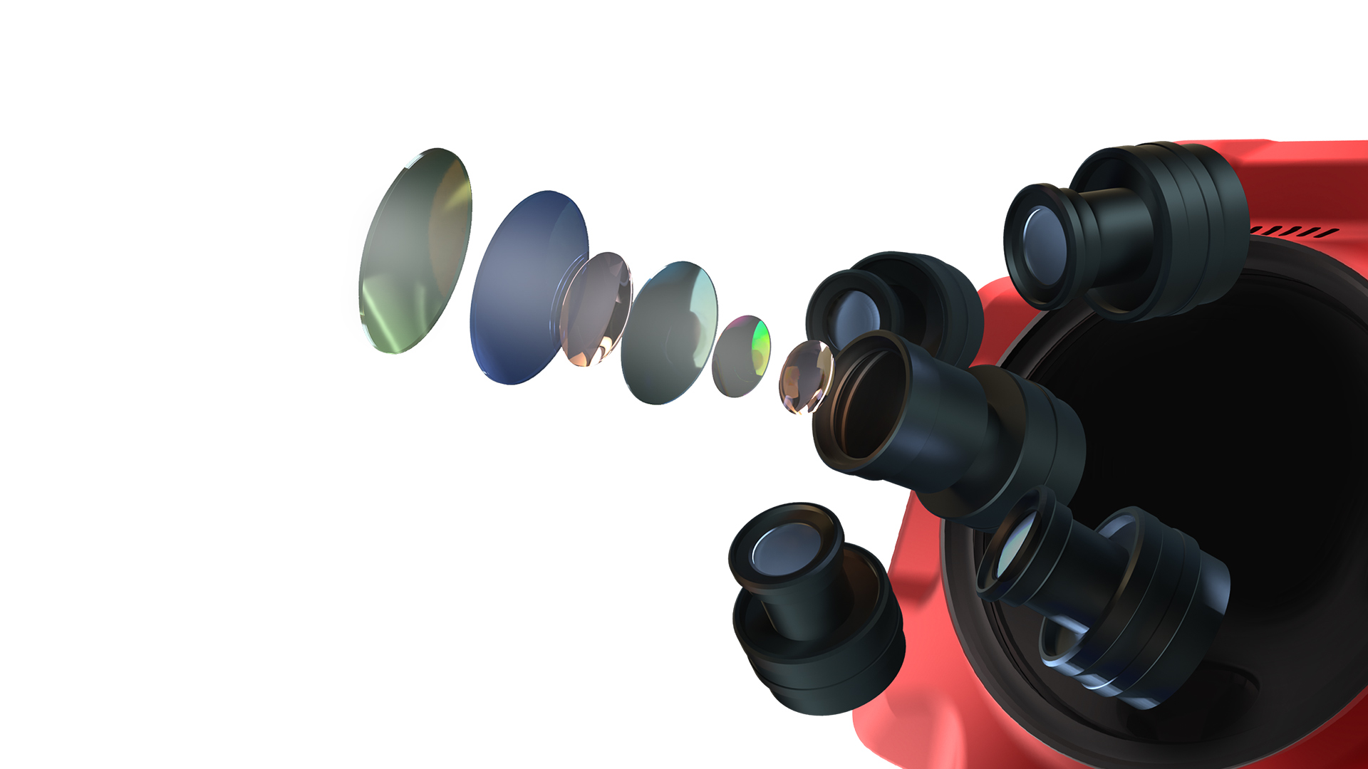
Excellent 3D model restoration capability
Total 120MP, center meter level independence POS data, be competent for cadastral survey, real estate integration, beautiful countryside and etc. Help people get realistic 3D models.

Visible information on built-in OLED screen
Iconic OLED screen in front of the housing, which displays RTK status and the number of images taken from each perspective in real-time. The working status of the camera is clear at a glance.
Nadir-view real-time image transmission
Monitor flight obstacles in real-time and reduce the risk of field data acquisition and flight. The clear image transmission is matched with the height and position information of the Pilot, and the terrain reference is clear at a glance during the emergency landing.
Share Data Manager
Data copy, flight management, shutter status, camera setting and firmware upgrade, all can be completed via SDM. One software to process all datasets, including images and POS. Can be import directly to DJI Terra and Context Capture modeling software.


By using our website, you agree to our use of cookies. If you want to know more, press the Privacy Policy button.
