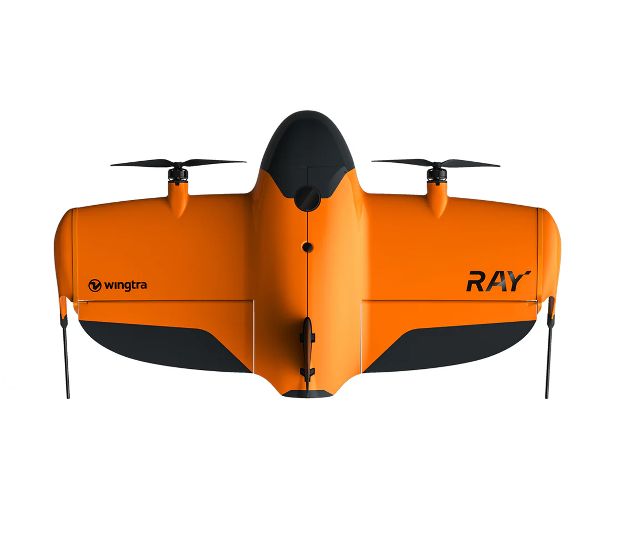
Back to: VTOL

WingtraRAY

Print
Survey drone for fast results and full confidence
Description

WingtraRAY delivers what actually matters for real survey work

Fly with peace of mind—anywhere

Feel safe and confident, even over roads and populated areas5

Get your surveys done faster

Survey 100 ha (250 ac) in 10 min and deliver CAD-ready files in one smooth flow 2

Take on more jobs with purpose-built sensors

Six swappable sensors for high-quality capture across a wide range of survey tasks.

Get your surveys done faster

No matter the time window, you’ll get it done with fast data capture and a single workflow that gets you to deliverables in the same day.

100 ha (250 ac) in just 10 minutes 2

40
%
Faster than the previous generation (WingtraOne GEN II)
10
x
Faster than multicopter drones
30
x
Faster than terrestrial methods

Capture more in short time windows

Go from field to final files without friction

Get CAD/GIS-ready files in one, smooth flow

Efficiency is about reducing manual, error-prone tasks. WingtraRAY sits tightly in a single workflow. No file conversions, no app switching. Just plan, fly, and process—all in one connected system.

See Wingtra full workflow

Anyone can fly it. Everyone gets results

WingtraRAY makes it easy for you to collect survey-grade data—no extra training. Follow the checklist, fly, and deliver results to your team fast.

One-person field ops. Full team productivity.

WingtraRAY is built for one-person operation—so while they collect data in the field, others can stay focused on analysis or client delivery.

Fly with peace of mind—anywhere

Feel safe flying—even in urban areas—with every feature designed to help you focus on the job, not the risk, so you can get your data right the first time.

A parachute built for legal, safe flights

WingtraRAY’s parachute deploys automatically, or you can trigger it manually. It’s built to protect people below and help you avoid waivers, delays, and legal risks.5


Take on more jobs with purpose-built sensors

Deliver more kinds of results—from mm inspection to LIDAR to high-accuracy 3D models—all on one survey-focused platform that’s ready to grow with you.